Skip table of contents

Map - Distance Calculator (Ship to Port)

Perform a quick distance calculation from your map tab

The Distance Calculator icon

, found on the top toolbar of a map tab, enables you to perform a quick distance calculation of ships in your map that is able to make a specified port within a specified range of days, at a specified speed, from their last stated AIS position.

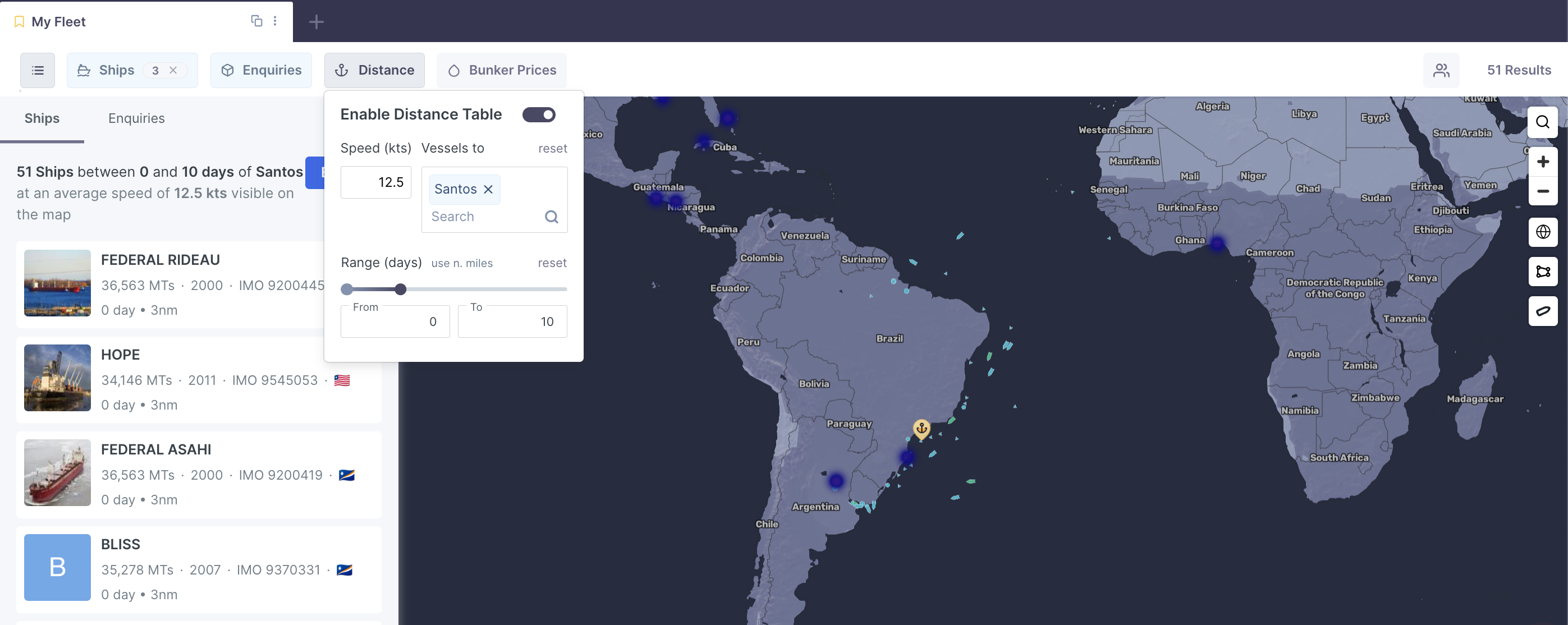
For example, you may want to run a calculation to find out which vessels around Port Santos can make a call at the port within the next 10 days, at 12.5 kts. The map will then filter out all vessels within the region that suits the criteria.

mceclip0.png

JavaScript errors detected

Please note, these errors can depend on your browser setup.

If this problem persists, please contact our support.