Routing
In the map, go to routing options, click on Passages, and select desired routing.
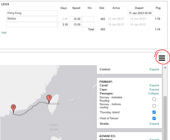
You can expand your menu by clicking Expand in the right side panel.
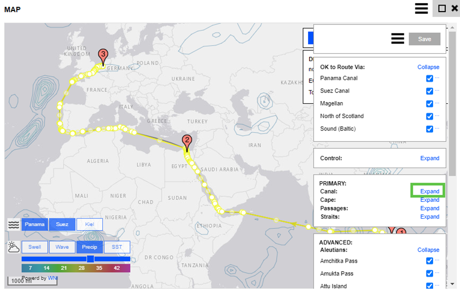
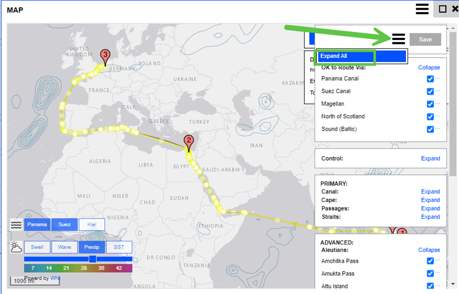
There is also an option to expand all on the three lines next to the save button:
If your vessel sizes are not restricted and all ships can route, for example, to the West of Taiwan, you can make this a default routing. You can do this by going to the main actions menu, company settings, and routing templates. Change the default routing template, as this is applied to all ships.
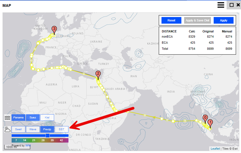
Weather
The weather symbol is in the lower left of the map. When you click on it, the map displays Weather Layer options.
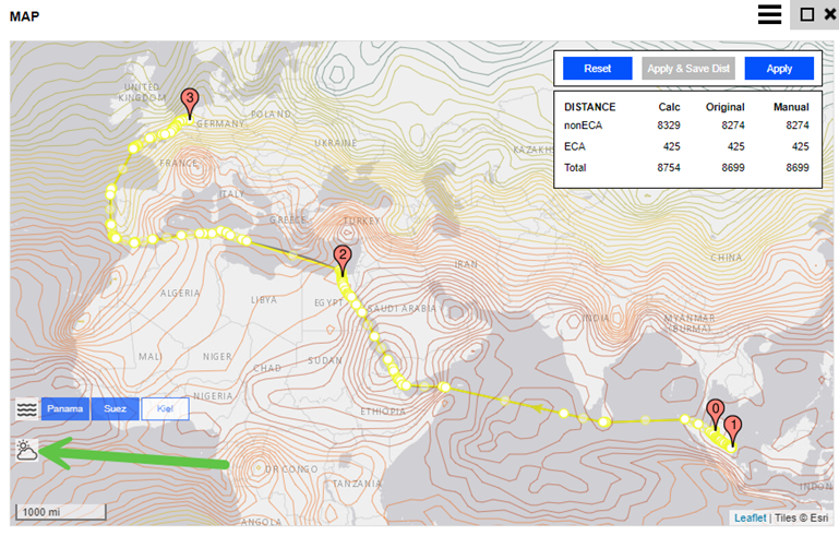
You can also select different map views, including Swell, Wave, Precipitation, and SST.