
You can use Veslink Distances to enter ports, arrange routes, and calculate time and distances for voyages, based on the latest sea lanes and nautical charts.
Open it from one of the following locations:
|
Location |
To access Distances: |
|---|---|
|
IMOS |
|
|
Veslink |
Note: You must have the Access Veslink Distances General Permission enabled. Click the Distances tab. |
|
Browser |
Click the shortcut or enter the URL in your browser. |

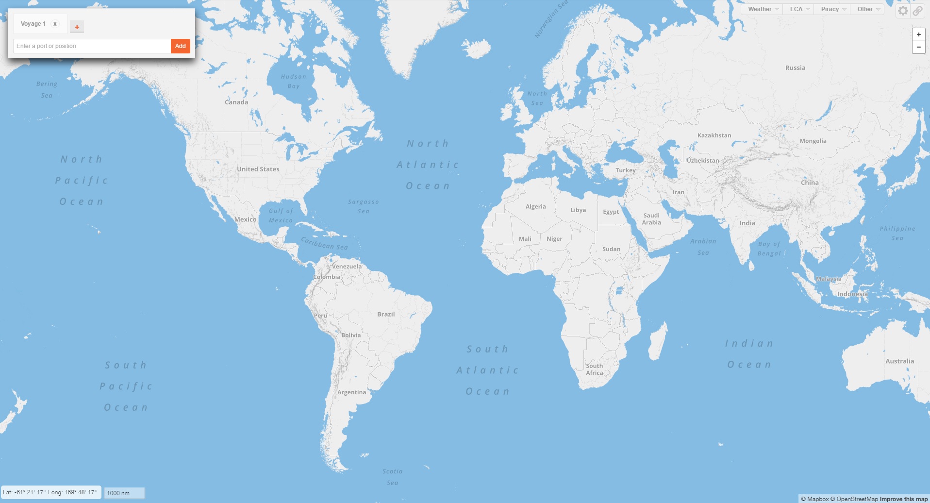
Distances Overview
Working with an itinerary and a map, you can quickly refine your voyage to determine the optimal route.
-
Click

-
Select map views and overlays to change the look of the map, highlight areas, and minimize routing.
-
Create a voyage itinerary by entering and adjusting ports and positions. You can view and compare up to three itineraries.
Related Article: https://vesonjira.atlassian.net/wiki/spaces/veslink/overview