Note: Requires Voyage Reporting.
To view vessels and voyages on the map, in the Forms list or form details, click 
-
You can select map views and overlays to highlight Weather, ECA Zones, Piracy Zones, Load Lines, and IWL/INL Zones.
-
To return to the Forms list, click

Viewing Routes on the Map
To view a single voyage route in detail, do one of the following:
-
Click a blue dot on the map.
-
In the Vessels panel on the right, click a card.
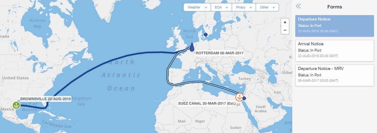
A Forms panel appears on the right, containing cards for all forms submitted during the voyage. On the map, the route is highlighted with additional voyage details. Only one vessel route can be shown in detail at a time.
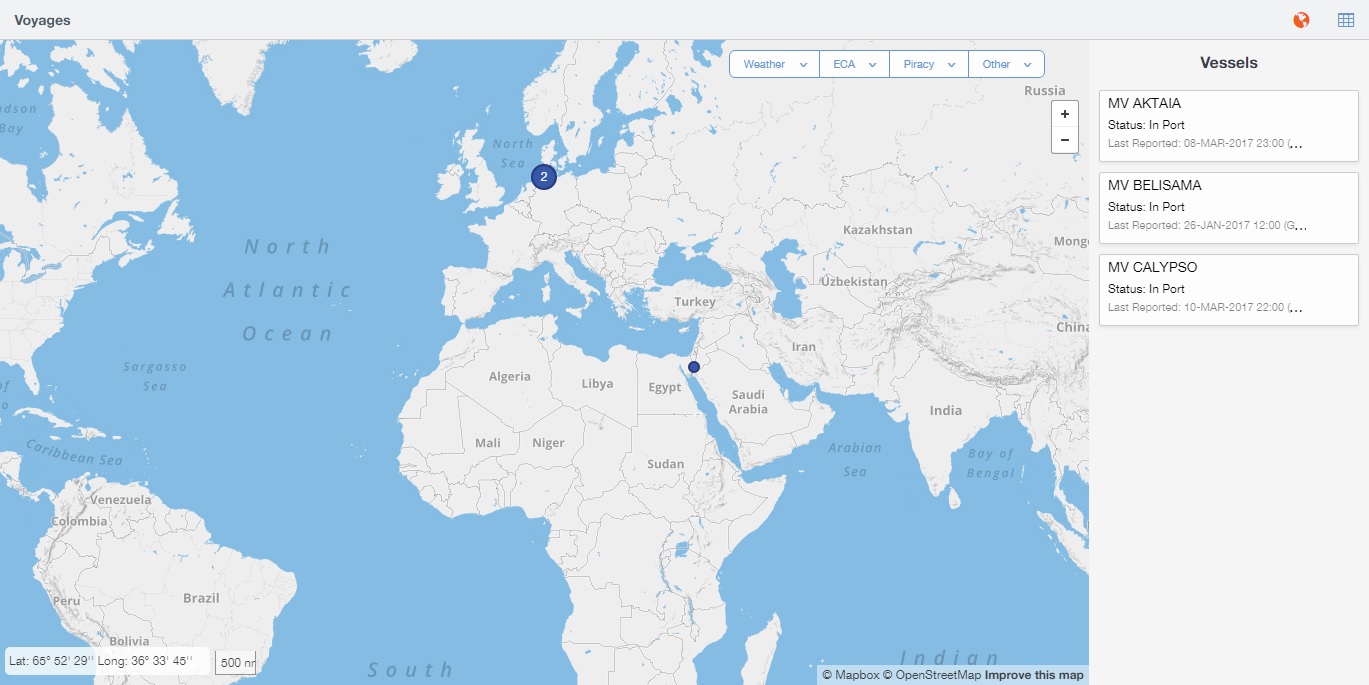
Vessels appear as blue dots on the map. Ports appear as larger dots with anchors:
Icons on the Map
-
Blue arrow = Current vessel position and heading

-
Blue dot = Vessel position

-
Blue dot containing a number = Multiple vessel positions, grouped. To view individual positions on the map, click the icon

-
Green anchor = Commencing port

-
Orange anchor = Passed port

-
White anchor = Upcoming port

-
Solid blue line = Current voyage route

-
Striped line = Future voyage route

For more information:
-
Hover over a port or vessel icon.
-
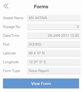
To view the details of a form, in the Forms panel:
-
If there is only one form associated with the voyage, click

-
If there are multiple forms associated with the voyage, click its Forms card and then click
-