With Advanced Maps, included with Veslink Optimum, you can use weather information to make decisions about itineraries and compare live weather data with reported information. Advanced Maps add these features to the Distances and Voyages maps:
-
Weather forecast or historical data overlays, with multiple types of data, that can be played on a timeline
-
More detailed nautical charts with pilot stations, ocean depths, and more zoom levels
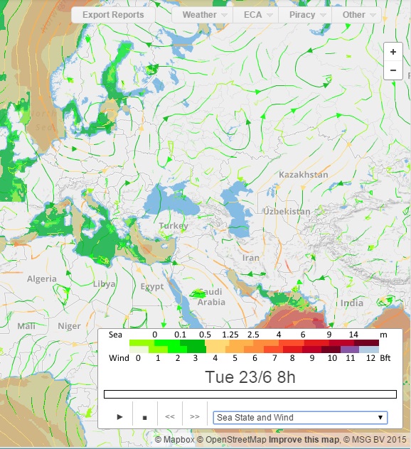
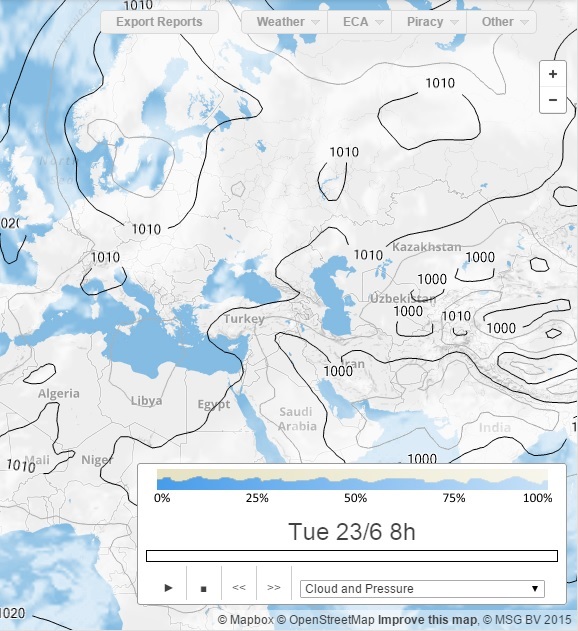
Viewing Weather Forecast or History
To use Advanced Maps:
-
Hover over

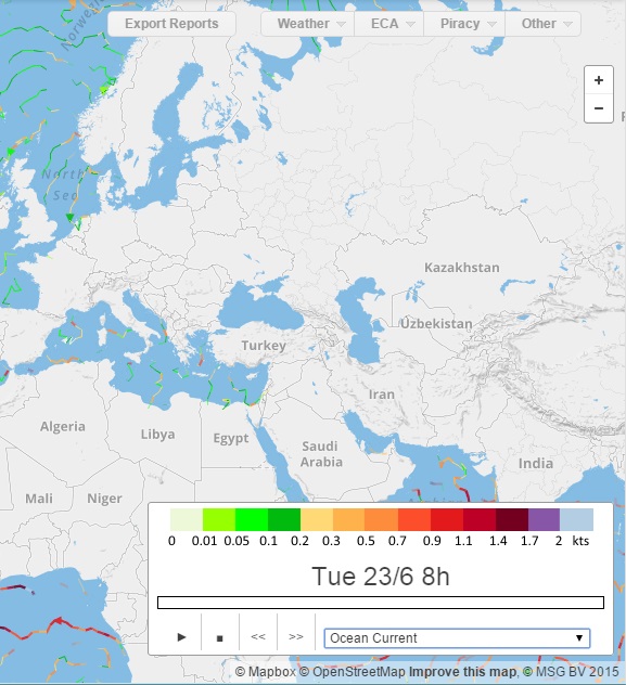
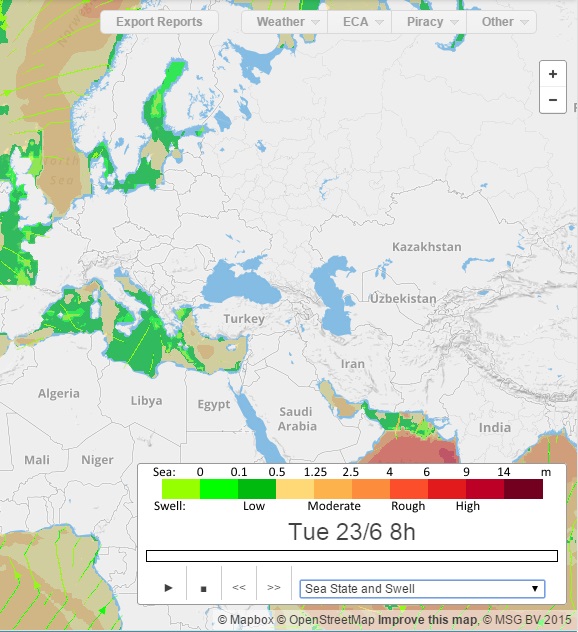
The weather control appears in the lower right corner of the map.
It includes:-
Key to the data in the overlay
-
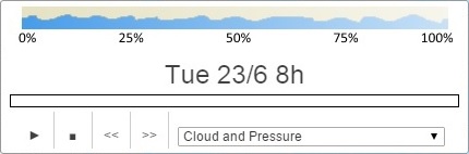
Date and time being displayed
-
Timeline
-
Controls: You can click to:
-

-

-

-

-
-
-
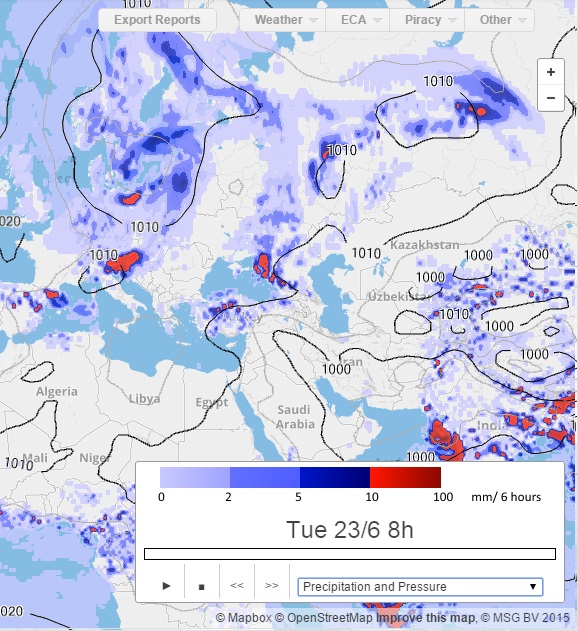
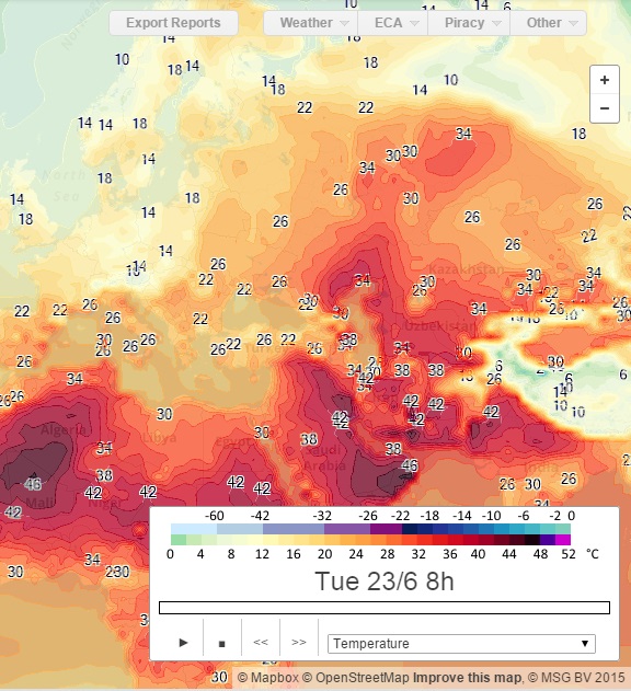
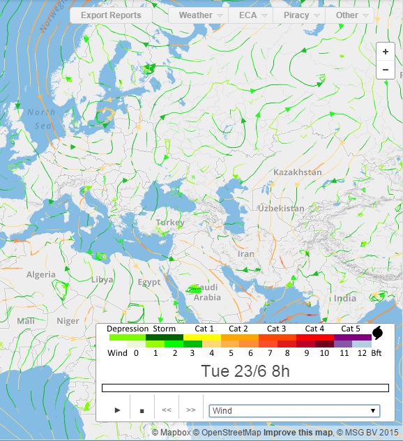
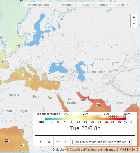
Select the data type:
Cloud and Pressure
Precipitation and Pressure
Temperature
Wind
Sea Temperature and Ice Concentration
Ocean Current
Sea State and Swell
Sea State and Wind