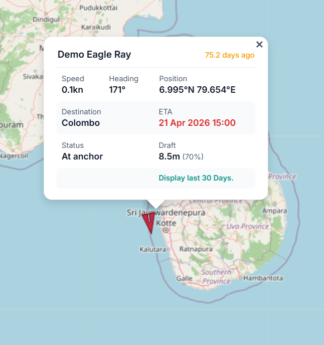
Access AIS Vessel Tracking
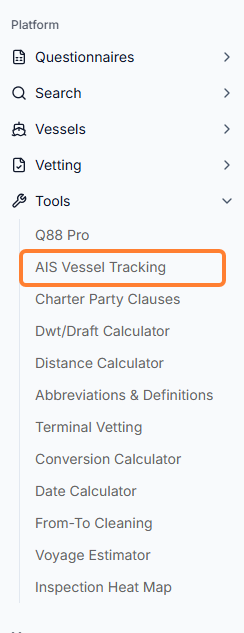
You can find the position of any registered vessel based on their AIS signal by navigating to Tools → AIS Vessel Tracking in the sidebar menu.
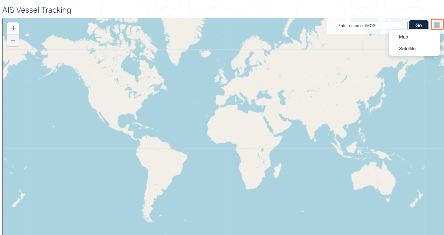
Depending on your subscription, you can either have a coastal and/or satellite signal. Enter the IMO number/name of the Vessel in the Search field → click the Go button → choose between Map or Satellite view.
The vessel's position and basic information – such as Speed, Heading, Destination, ETA, and Draft – will be displayed. If you would like to view the vessel’s routing, click on the Display last 30 days link.